
Based in Laurel, MS · Licensed in MS & AL
Licensed Land Surveyors
Serving Mississippi & Alabama
Boundary surveys, construction staking, oil & gas, and flood elevation certificates, delivered fast, accurate, and fully independent. When the property line, the stake, or the certificate has to be right, Saul Surveying gets it right the first time.
Your local surveyor, with the reach to cover two states
Saul Surveying & Mapping, LLC is a professional land surveying firm based in Laurel, Mississippi, serving landowners, developers, builders, and oil & gas operators across Mississippi and Alabama. Our local knowledge and licensed professionals deliver fast, reliable, and fully independent survey results for residential and commercial property alike.
Our office location in Laurel, combined with decades of on-the-ground knowledge of South Mississippi and Alabama, means we reach your site quickly and read the land accurately. We handle residential and commercial property, oil and gas surveying, construction staking and layout, and utility, route, and right-of-way surveys. Every job starts the same way: we listen to what you need, examine the scope of work, and deliver results promptly.
What we survey

Boundary Surveys
Know exactly where your property lines, easements, and encroachments are.

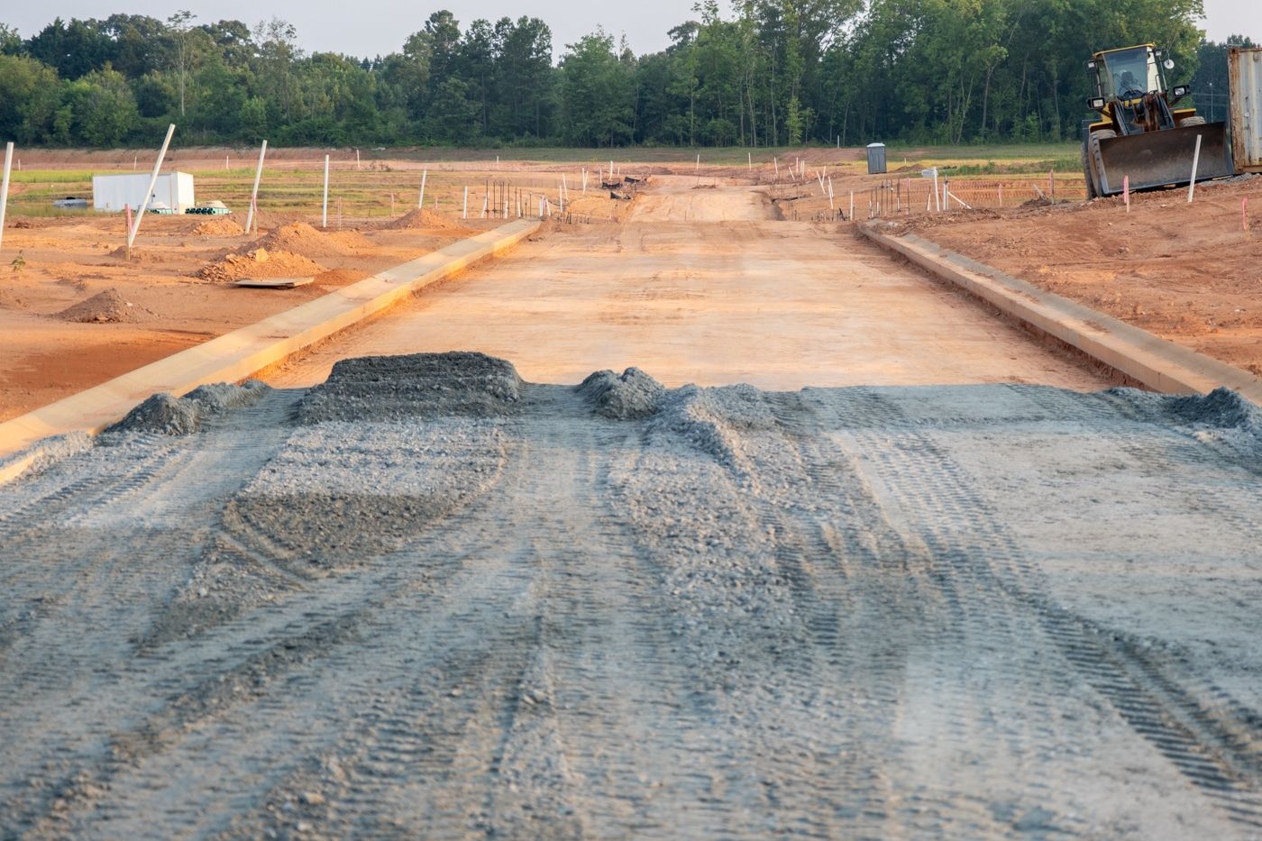
Construction Staking & Layout
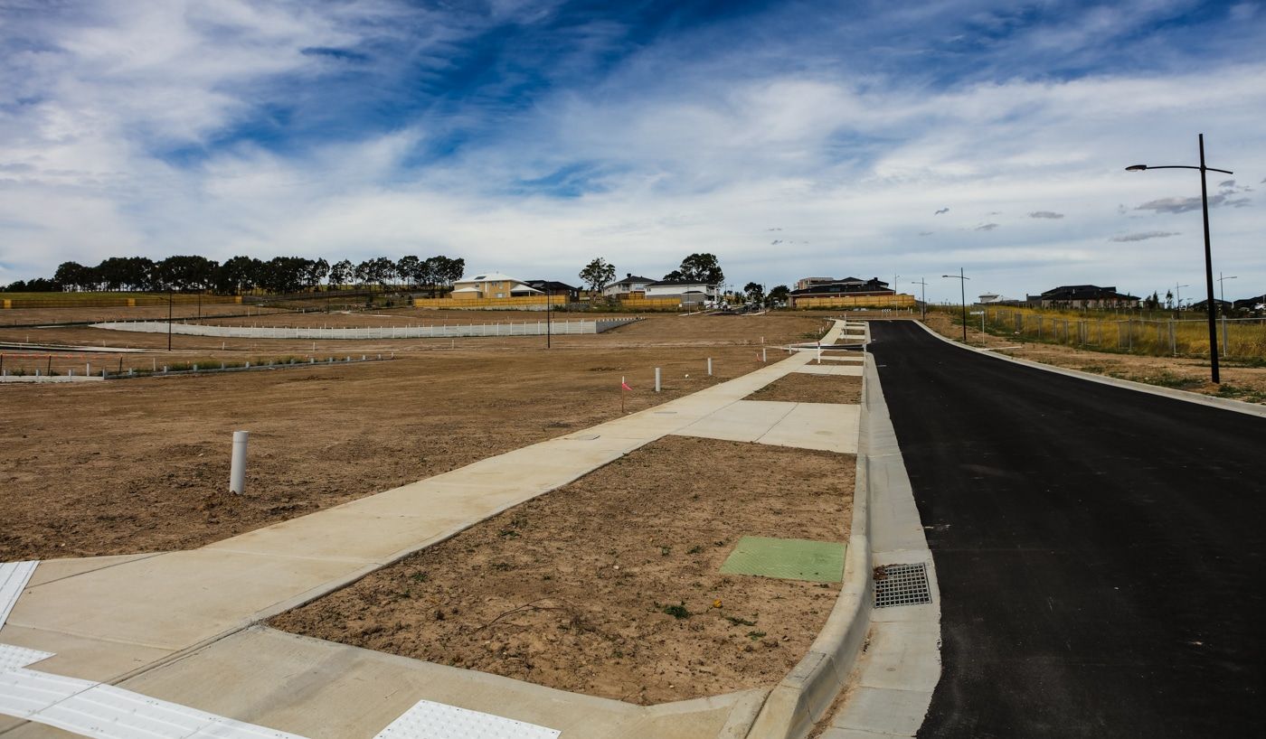
Precise stakes so crews build in the right place, the first time.

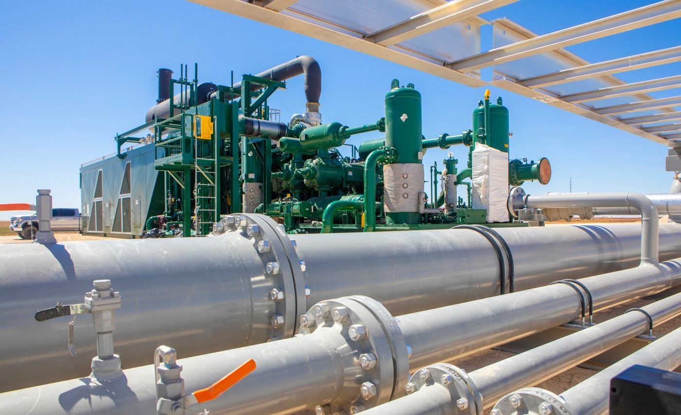
Oil & Gas Surveys
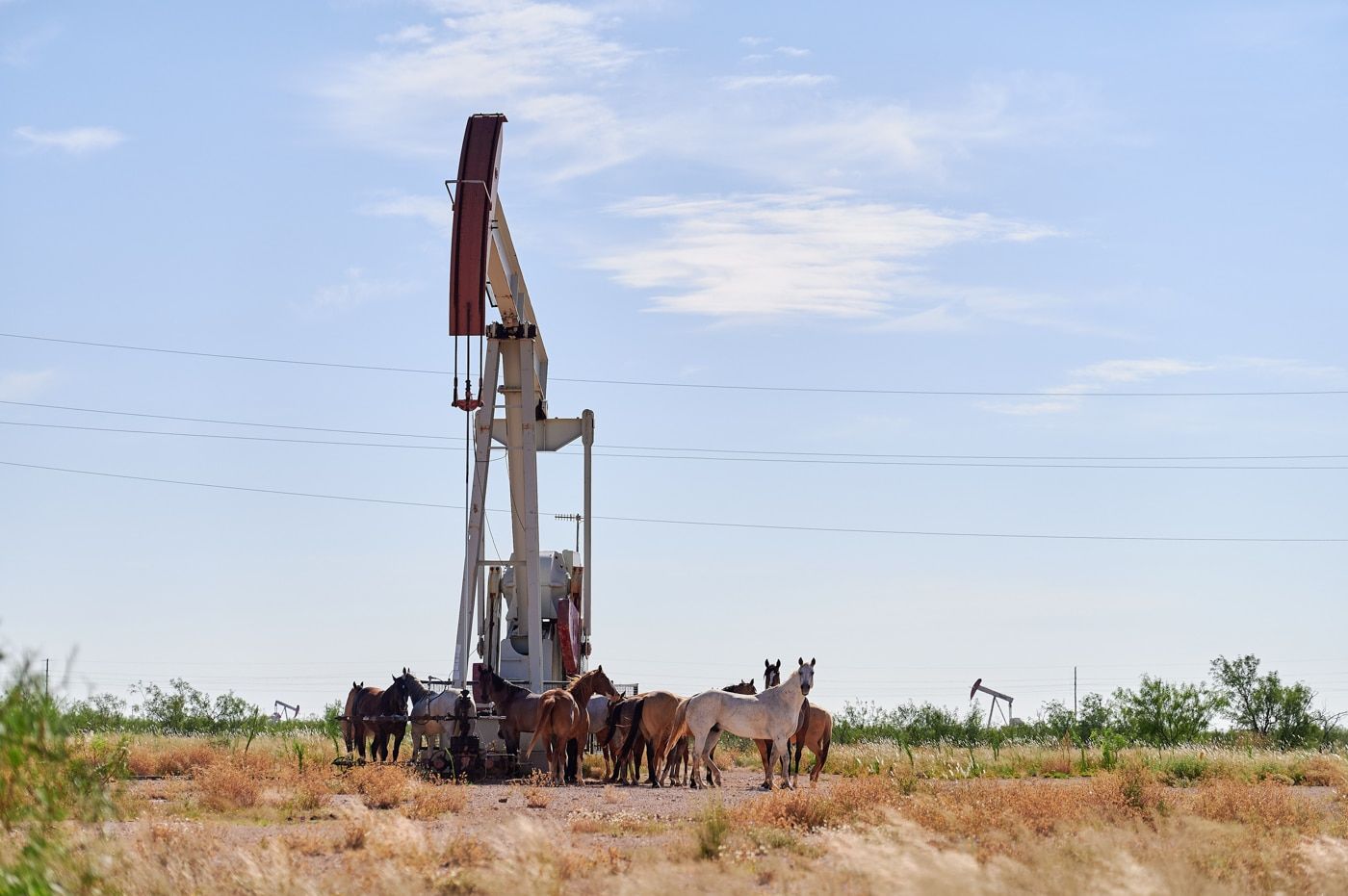
Well locations, pads, and pipeline routes staked and mapped for operators.

Flood Elevation Certificates
FEMA-ready certificates for insurance, permitting, and lending.

ALTA/NSPS & Title Surveys
Lender- and attorney-grade surveys for commercial transactions.

Topographic & Right-of-Way Surveys
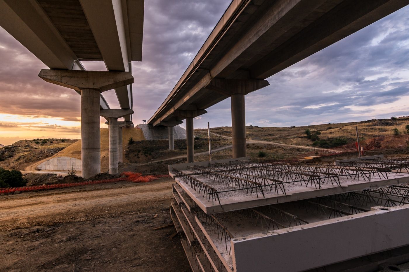
Contours, utilities, and route/ROW mapping for design and infrastructure.
Why Saul Surveying
Why clients across two states call us first

Licensed in Mississippi and Alabama. Professional Land Surveyor credentials in both states — one firm covers your whole footprint.
Fully insured. General Liability, Auto Liability, and Workers’ Compensation. Certificates of Insurance provided on request.
Decades of combined field experience. Party chiefs with 10, 17, and 30+ years reading these woods, wells, and boundaries.
Independent & accurate. We answer to the survey and the law, not to anyone else’s interest in the outcome.
Who we work with
Trusted by the people who move dirt and close deals
We survey for individual landowners, oil and gas companies, developers, construction companies, real estate professionals, and attorneys, plus banks, architects, schools, and state agencies. Whether you need a single boundary confirmed or a pipeline route mapped across counties, the same crew and the same standard show up.

Service area
Where we work
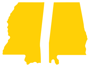
From our Laurel, MS office we regularly survey throughout South Mississippi — including Jones, Jasper, Wayne, and adjacent counties — and across the state line into Alabama. Not sure if your property is in our area? Call (601) 428-0600 or request a survey and we’ll confirm same day.
Ready to get your property surveyed?
Tell us about your property and we’ll get you a fast, professional response. Upload your documents, drop a pin on your parcel, and we’ll take it from there.
Frequently asked questions
Still have a question about your property? Call the office at (601) 428-0600.
We’re based in Laurel, Mississippi and are licensed in both Mississippi and Alabama. We regularly survey residential, commercial, and oil & gas properties across South Mississippi and Alabama. If you’re unsure whether your property is in our service area, call (601) 428-0600 and we’ll confirm the same day.
We provide boundary surveys, construction staking and layout, oil & gas surveys, ALTA/NSPS and title surveys, flood elevation certificates, topographic surveys, subdivision plats, mortgage surveys, GPS control points, and utility, route, and right-of-way surveys, for both residential and commercial property.
The fastest way is our Request a Survey page, where you can enter your property details, upload documents, and drop a pin on your parcel so we know exactly where to go. You can also call the office at (601) 428-0600. We aim to respond promptly with next steps.
Yes. Saul Surveying & Mapping employs Professional Land Surveyors licensed in Mississippi and Alabama, and the firm carries General Liability, Auto Liability, and Workers’ Compensation insurance. Certificates of Insurance are available on request.
Timing depends on the survey type, the size and terrain of the property, and how quickly county records are available. A residential boundary survey is typically faster than an ALTA or a large route survey. Call or request a survey and we’ll give you a realistic timeline for your specific job.